Exploring Utah in a Ford Expedition: Utah by the book
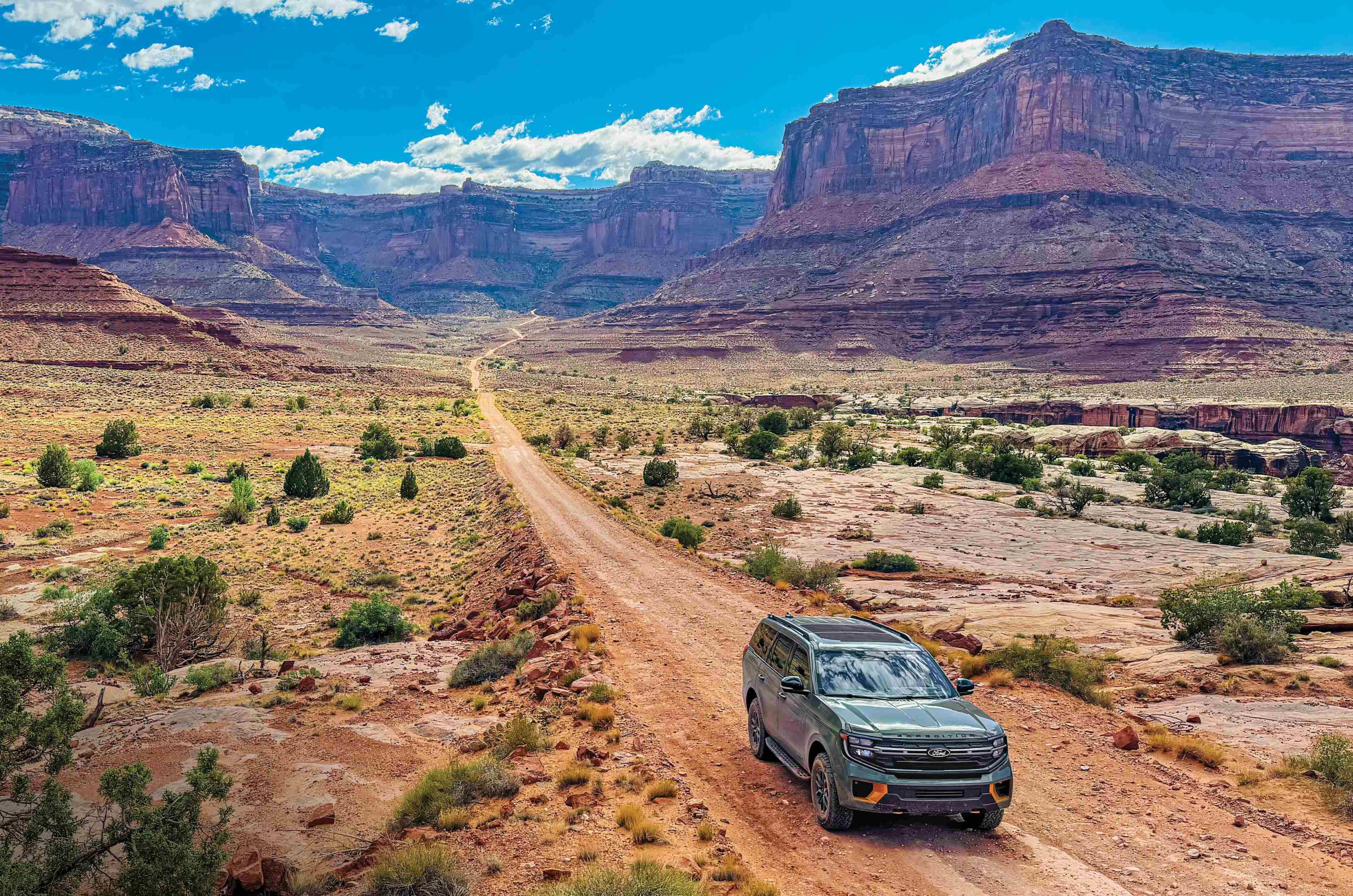
In the analogue age, I planned road trips with paper maps, fluorescent highlighters and dog-eared guidebooks. Lately, however, Uncle Claude and Aunty Gemini have lured me into the world of artificial intelligence. When I asked them to suggest an adventurous drive through south Utah, they both recommended similar itineraries. It was like asking the chef at a dhaba to surprise me with something unusual and being served butter chicken instead. Zion, Bryce Canyon and Arches. Three magnificent National Parks connected by smooth highways and comfortable hotels.
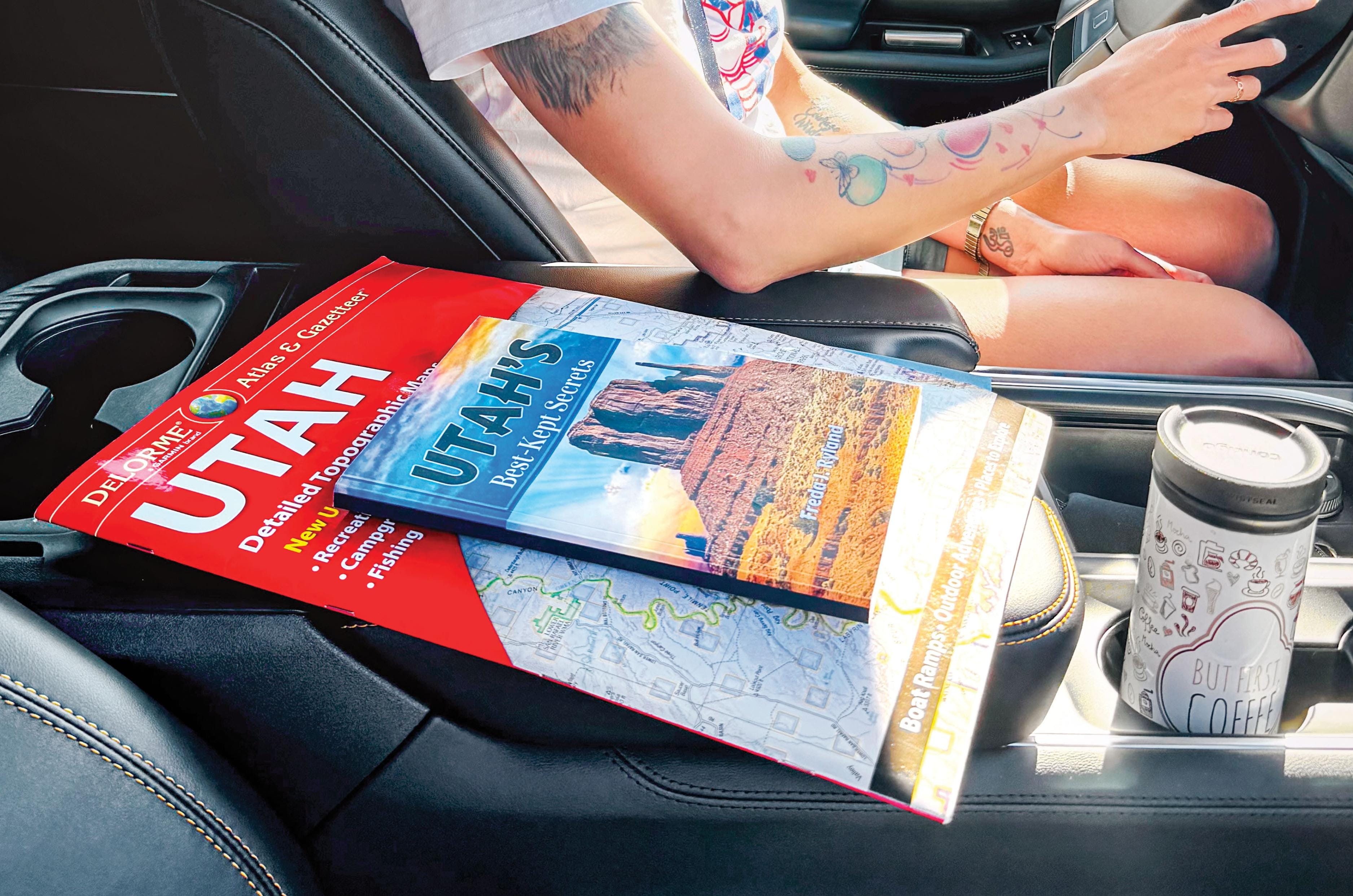
This route hits Utah’s greatest highlights, featuring soaring cliffs, towering hoodoos and delicate sandstone arches. However, the parks are often so busy that sedans circle overflowing car parks, rather like sharks patiently circling a lifeboat. I wanted roads that filtered out sedans and coaches, demanded preparation and delivered adventure, where the SUV became part of the journey rather than mere transport.
So, I turned my back on the algorithm and went analogue. While ordering the DeLorme Utah Atlas, Amazon suggested Freda J. Ryland’s Utah’s Best Kept Secrets, promising another Utah of mesas, switchbacks, unspoiled canyons, lonely dirt roads beyond the cellular umbrella and skies dark enough to make galaxies glow.
Her book was fuel for wanderlust; an invitation into a hidden Utah for those willing to stray off the tarmac. Though its typesetting suggested a clandestine hand-operated press during the Quit India movement, its content was pure gold. Paired with the DeLorme atlas and offline Gaia GPS, the trio was as dependable as egg, bacon and toast. Freda chose the destination, the atlas found the route, and Gaia confirmed where we were. What followed often felt like driving into a fairy tale.
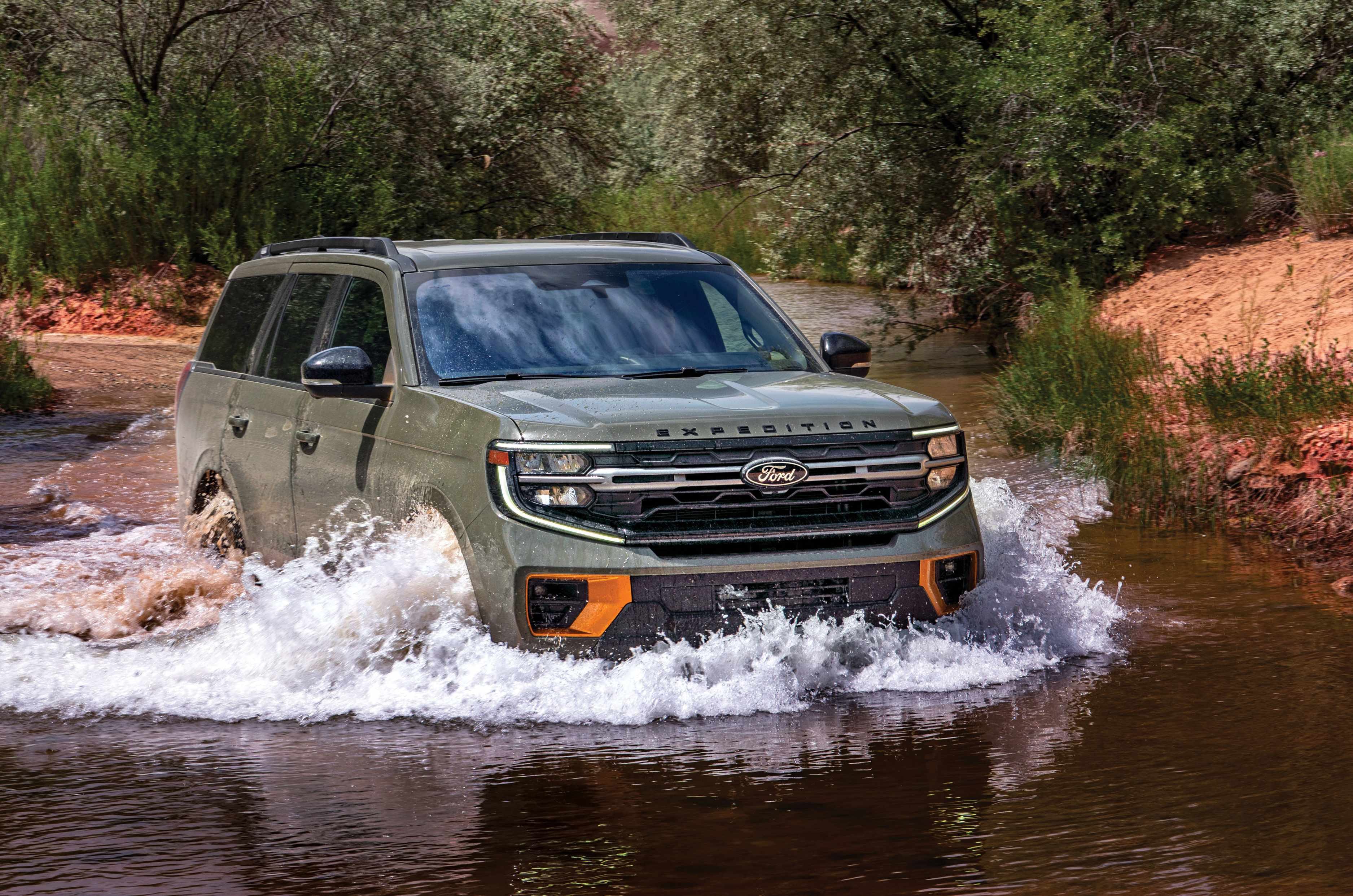
None of it would have happened without the Ford Expedition Tremor, our fairy godmother. A tad tubby at over two tonnes, it came with a locking rear differential instead of a magic wand. The twin-turbocharged 3.5-litre EcoBoost V6 dispatched highway miles effortlessly. Once the tarmac disappeared, the Tremor earned its keep, shrugging off clay, loose rock, river crossings and deeply rutted tracks with nonchalant competence.
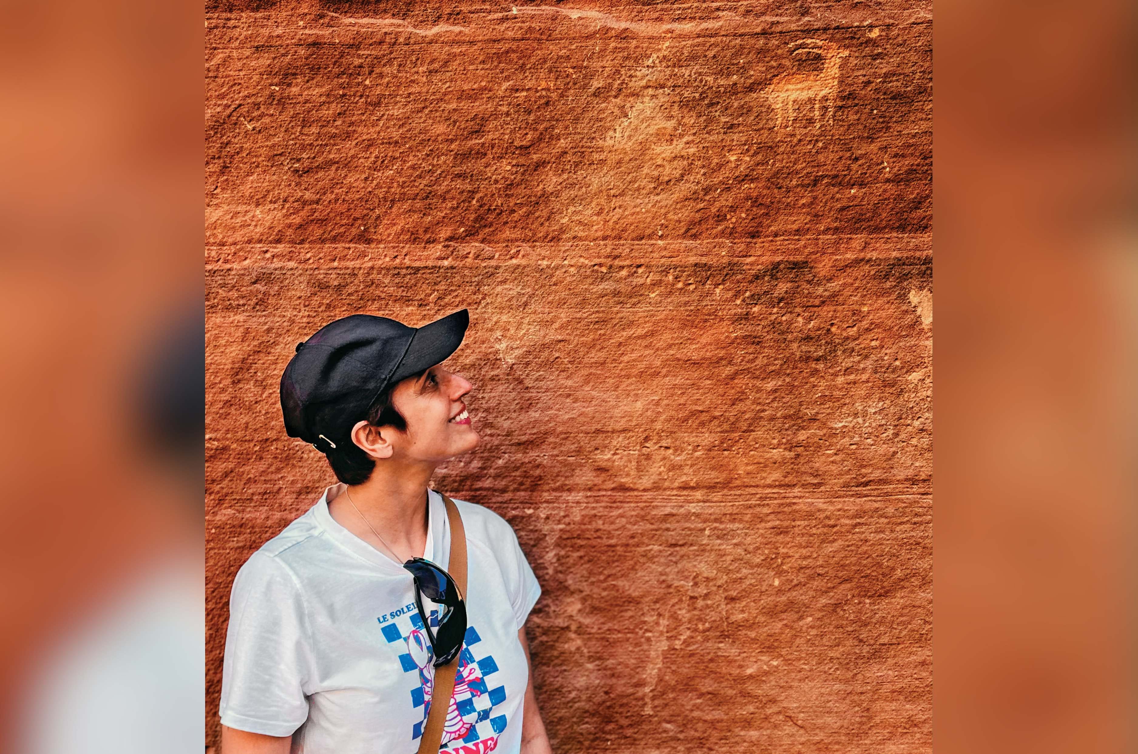
We forayed deeper into Utah’s wild, unadulterated beauty, beyond the tourist grid. To secret trails and solitude, to dinosaur tracks in ancient rock and to petroglyphs spanning two millennia, many still a mystery. I couldn’t help wondering if some ancient scribbling was simply the 2 BC equivalent of ‘Vinod loves Veronica’.
The first road to justify Freda’s confidence was Utah Scenic Byway 12, climbing out of Escalante towards Boulder through the folded canyons of Grand Staircase-Escalante National Monument, among the last regions in the contiguous US to be properly surveyed. Past Calf Creek, the road narrowed onto a hogback, a ribbon of blacktop along a ridge, with the ground dropping hundreds of feet on both sides. Red rock canyons fell open left and right, and for a few minutes it felt like driving along the spine of the Earth.
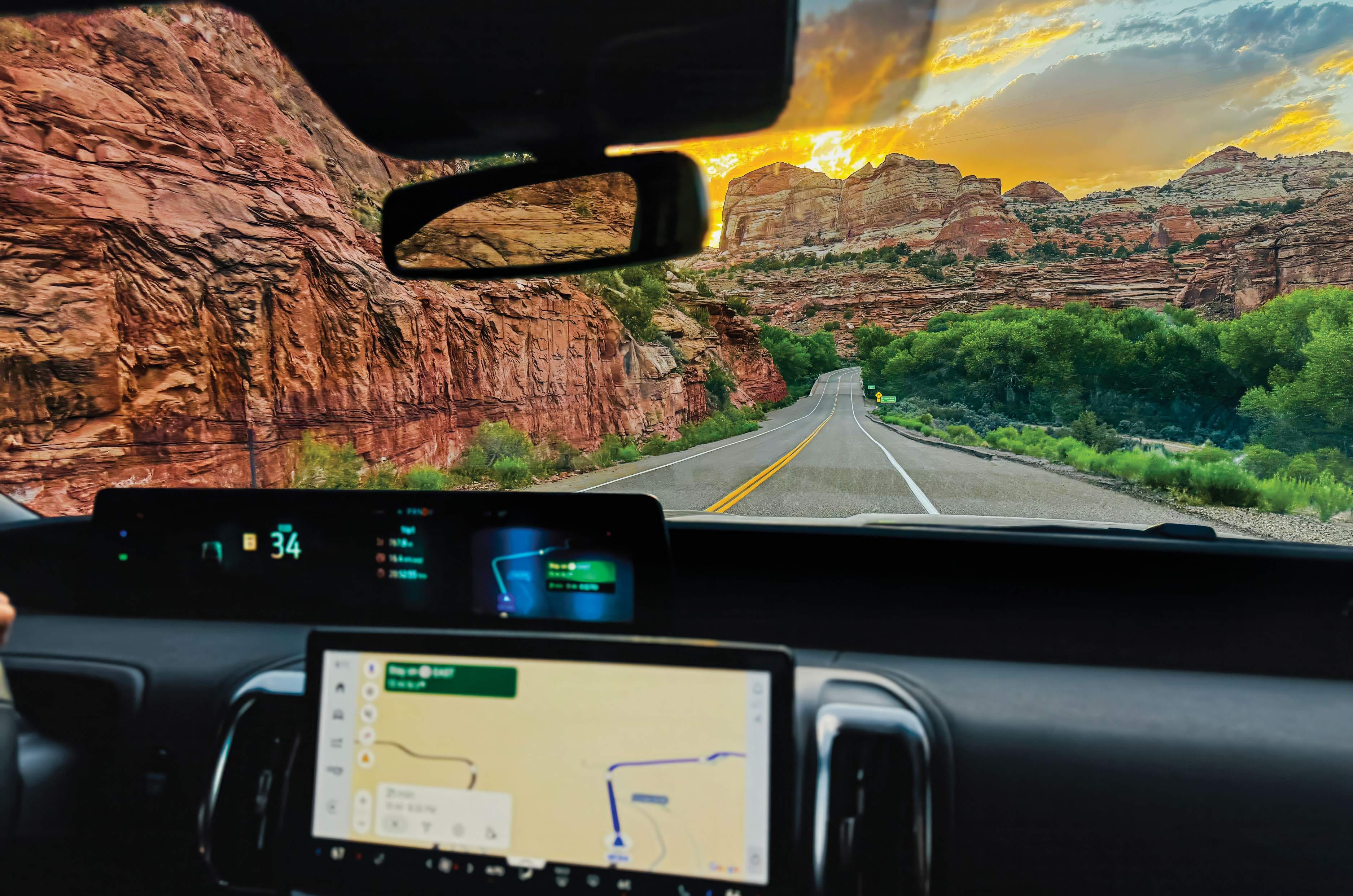
At Boulder, we turned onto the Burr Trail, first beaten into the landscape by cattleman John Burr in the mid 1800s. Soon the road slipped past Long Canyon, colloquially called Singing Canyon because its towering, tapering walls possess the sort of acoustics that could make a bathroom baritone believe he had missed his calling. I sang a few notes and was astonished when the sandstone tuned my discordant tone to the smoothness of Sinatra.
Then the scenery became rather more serious. In 1948, the Atomic Energy Commission arrived looking for uranium, widening the trail and blasting switchbacks that tumble nearly 800 feet in less than a mile into the Waterpocket Fold, a colossal wrinkle in the earth running nearly a hundred miles across southern Utah, its tilted rock exposed in great bands of colour. We descended towards Ticaboo as the Fold surrendered to open desert.
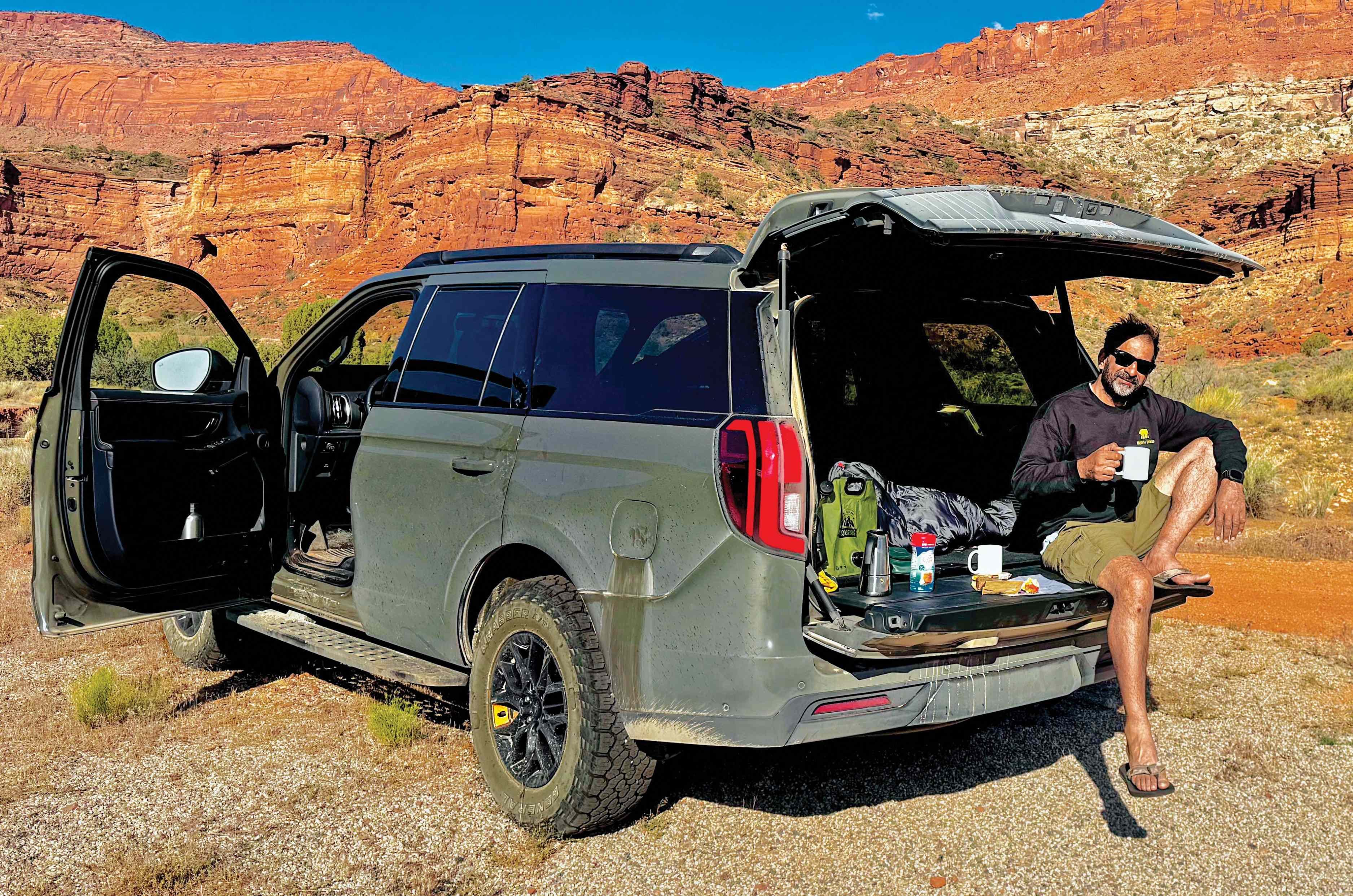
We were hoping to camp at Muley Point, but we hadn’t accounted for Utah waylaying us with stupendous scenery, another slot canyon or lonely butte persuading us to stop every few miles. Around sunset, Muley Point was still hours away, so we turned into a secluded canyon and spent the night there, one of the trip’s happiest failures. We dropped the two rear seat rows into a flatbed, laid out a mattress, and slept under a sunroof full of stars and the Milky Way. We had camped at the base of the Henry Mountains, so remote that surveyors called them the Unknown Mountains until 1869.
The next morning, we pushed on to Muley Point through Bears Ears National Monument, named for a pair of buttes that really do resemble a bear’s ears poking above the treeline. An unmarked turn led to Muley Point, where the land simply stops a thousand feet above the San Juan River’s looping canyons, with views stretching to Monument Valley.
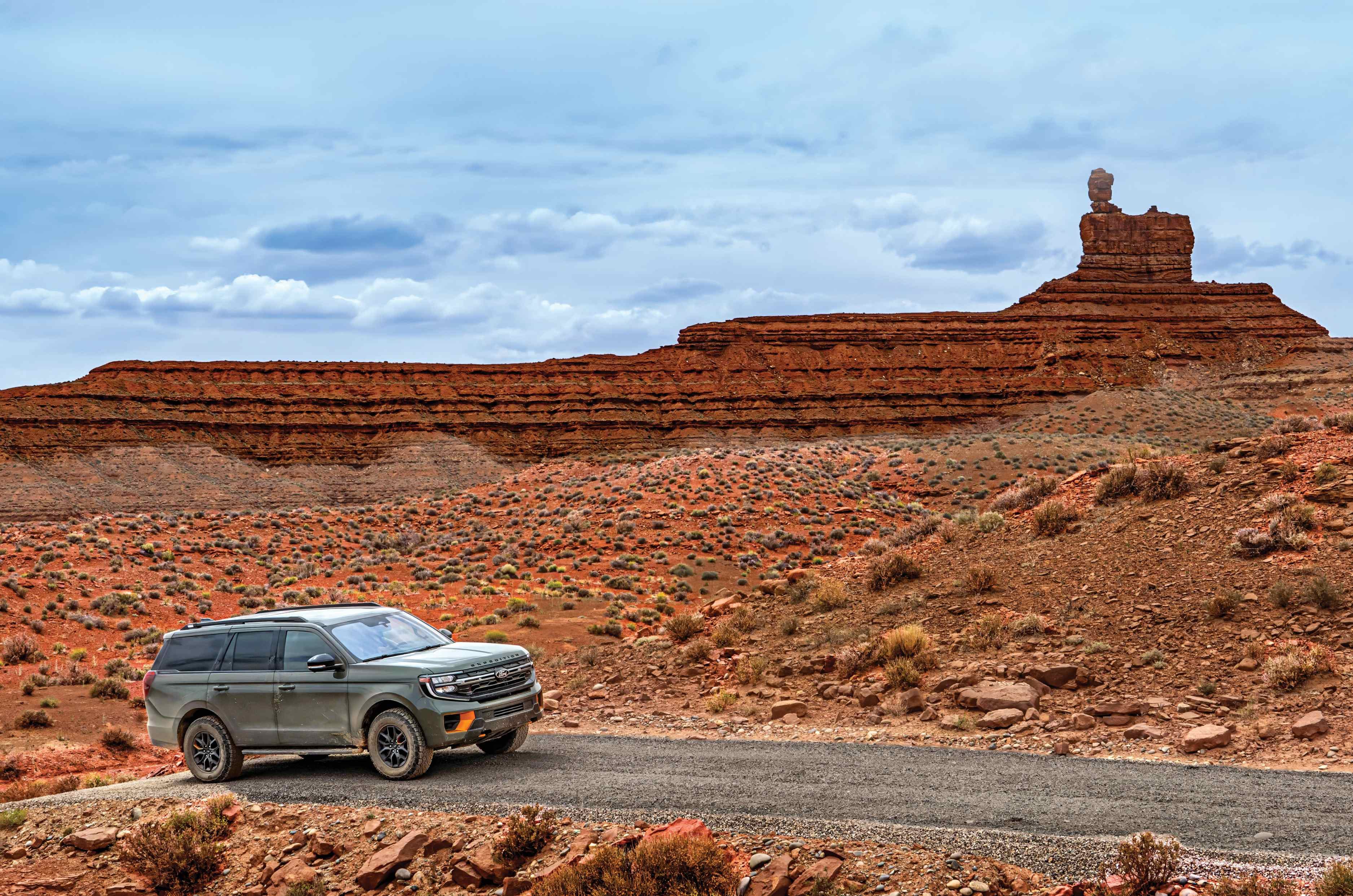
Our next destination was the Valley of the Gods, the guidebook’s hidden Monument Valley twin. But first came the Moki Dugway, three miles of unpaved switchbacks blasted into Cedar Mesa in 1958 for trucks hauling uranium ore, dropping 1,100 feet at an 11 percent grade. The Tremor accepted the challenge with the calm assurance of a seasoned mountain guide.
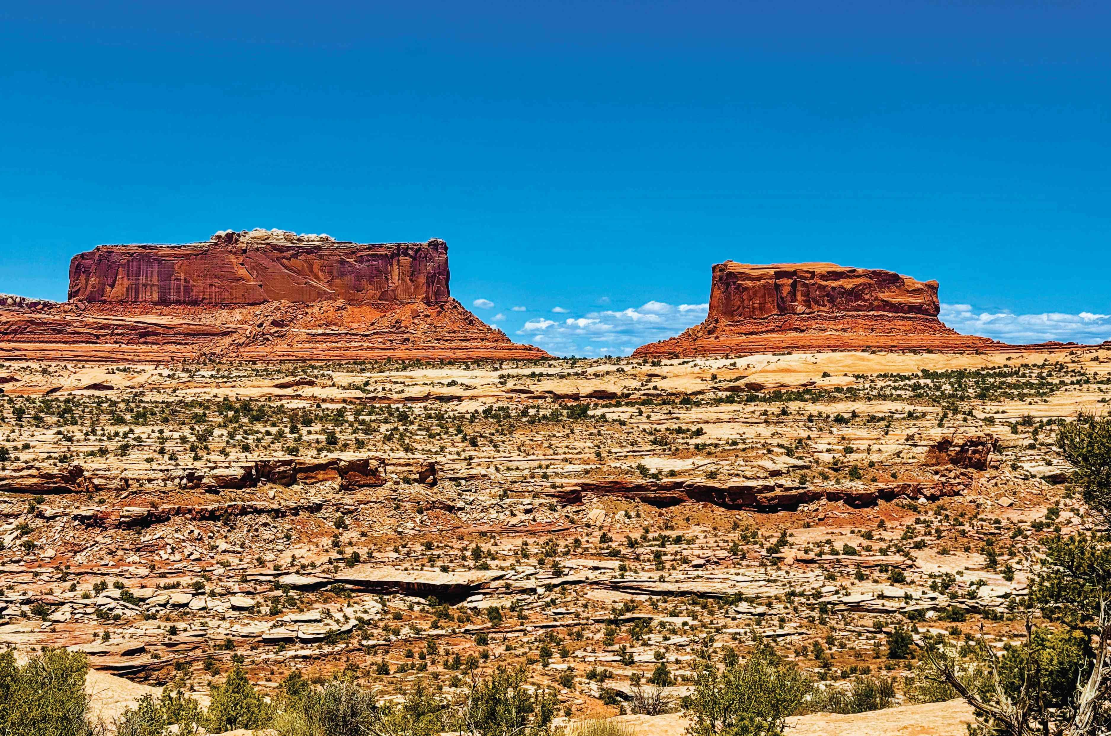
At the bottom, a short detour brought us to Goosenecks State Park, where the San Juan River travels almost six miles in meanders to advance barely a mile and a half as the crow flies. From there, we turned into the Valley of the Gods, a dirt road meandering between sandstone monuments, nature’s own sculptures, with eccentric names. One was the Lady in the Bathtub. Had I not known the name, I might have seen only a rock. But once told, there she was, sitting bolt upright at one end of an enormous bath, her hair piled high and her back rather primly straight.
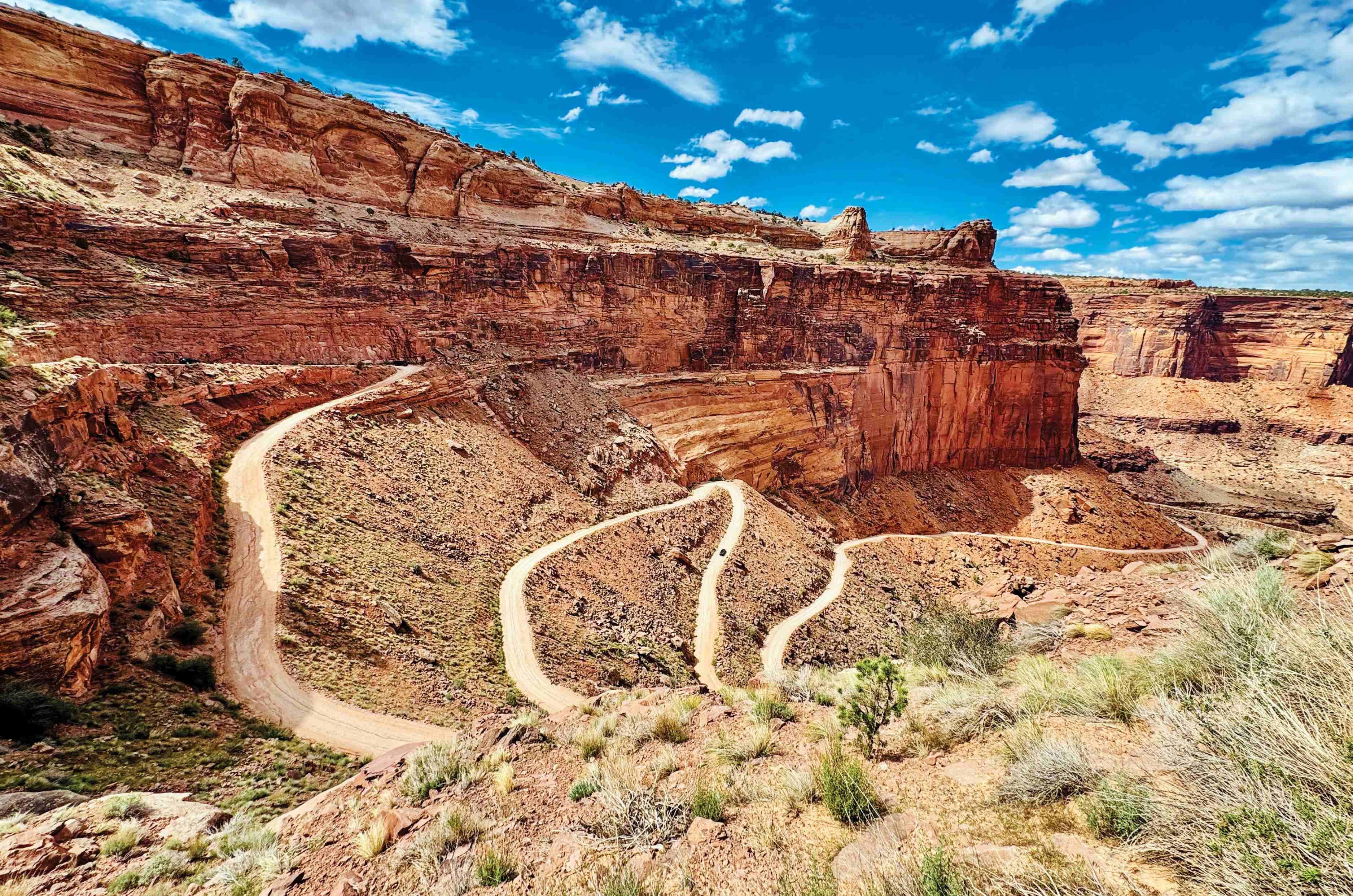
We slept another night in the car at the base of Rooster Butte, then rolled into urban Moab, our base for exploring the Needles and Island in the Sky districts of Canyonlands National Park, including the strange geological puzzle of Upheaval Dome. The highlight, though, was driving the Shafer Trail.
From the top, it was hard to believe vehicles drove down what looked like a pencil sketch etched onto a sandstone cliff.
The trail began as a foot route, widened for cattle by rancher John “Sog” Shafer, then again in the 1950s for the uranium trucks that shaped the Burr Trail and Moki Dugway.
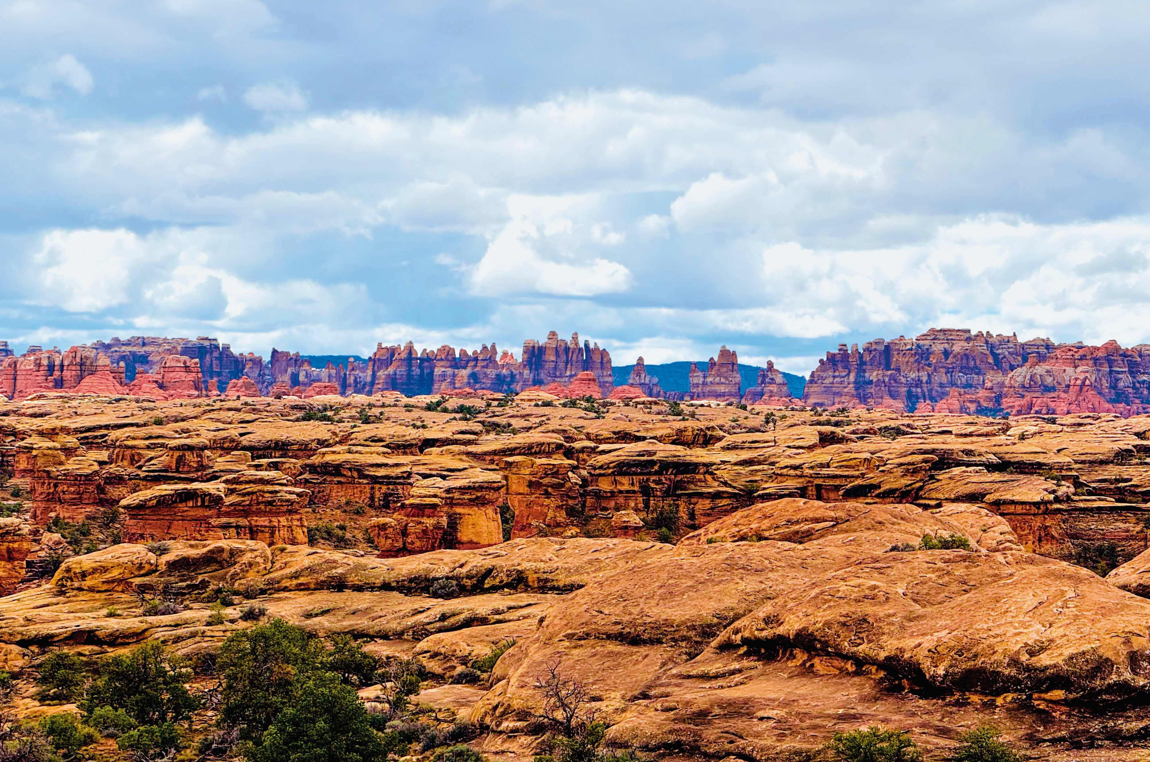
The Expedition tipped over the edge, and we were committed. The Tremor crept down in low range, engine barely above idle, brakes doing quiet, constant work as gravel skittered from under the tyres. Every switchback flung the door mirror out over open air, nothing but red rock and sky where the road should have been, and my stomach dropped a beat before the front wheels found the turn. The cabin stayed eerily composed, no lurch, no scrabble for grip, while everything outside the glass insisted we should be afraid. At the bottom, the Colorado River came into view, and I exhaled properly for the first time in twenty minutes.
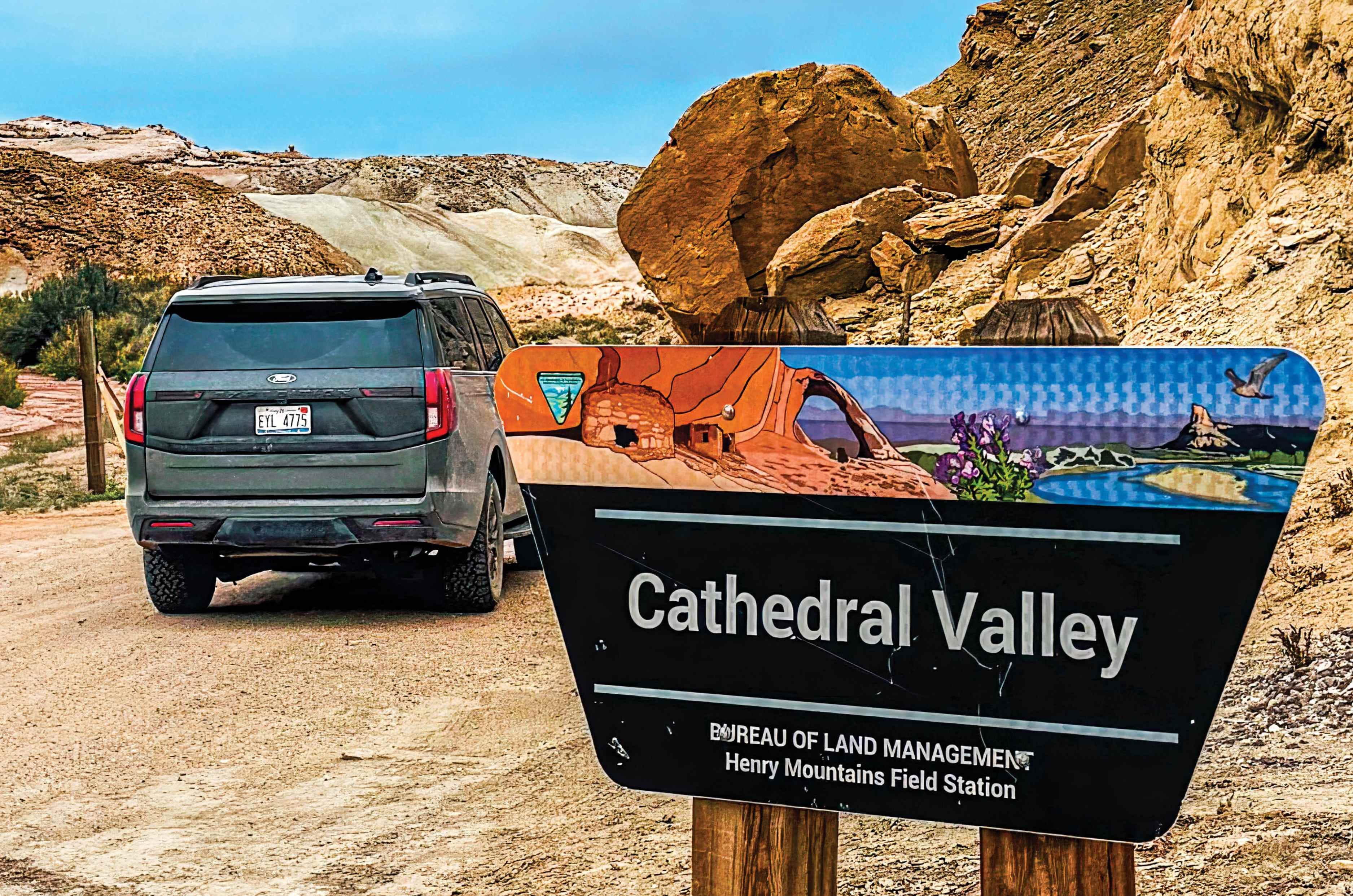
The final road I want to tell you about is the 80-mile loop through Cathedral Valley. According to Ms Ryland, this was Capitol Reef at its most remote – towering monoliths, strange badlands and perfect seclusion. At the entrance, a sign minced no words: ‘Road Impassable for Most Vehicles. Travel at Your Own Risk’.
The dirt road climbs through the Bentonite Hills, bands of grey, purple and blue-green clay laid down eighty million years ago in an ancient inland sea, eroded into slopes that look lunar. Beyond them, the land opens onto a high bench where the Temples of the Sun and Moon stand, solitary honey-coloured monoliths like remnants of cathedrals of a long-lost civilisation.
What struck me most, standing before the Temple of the Sun, was how closely its silhouette echoed the thirteenth-century Temple of the Sun I knew well – still standing tall in Konark, Orissa. That was shaped by human hands wielding hammers and chisels, whereas this one by wind and water.
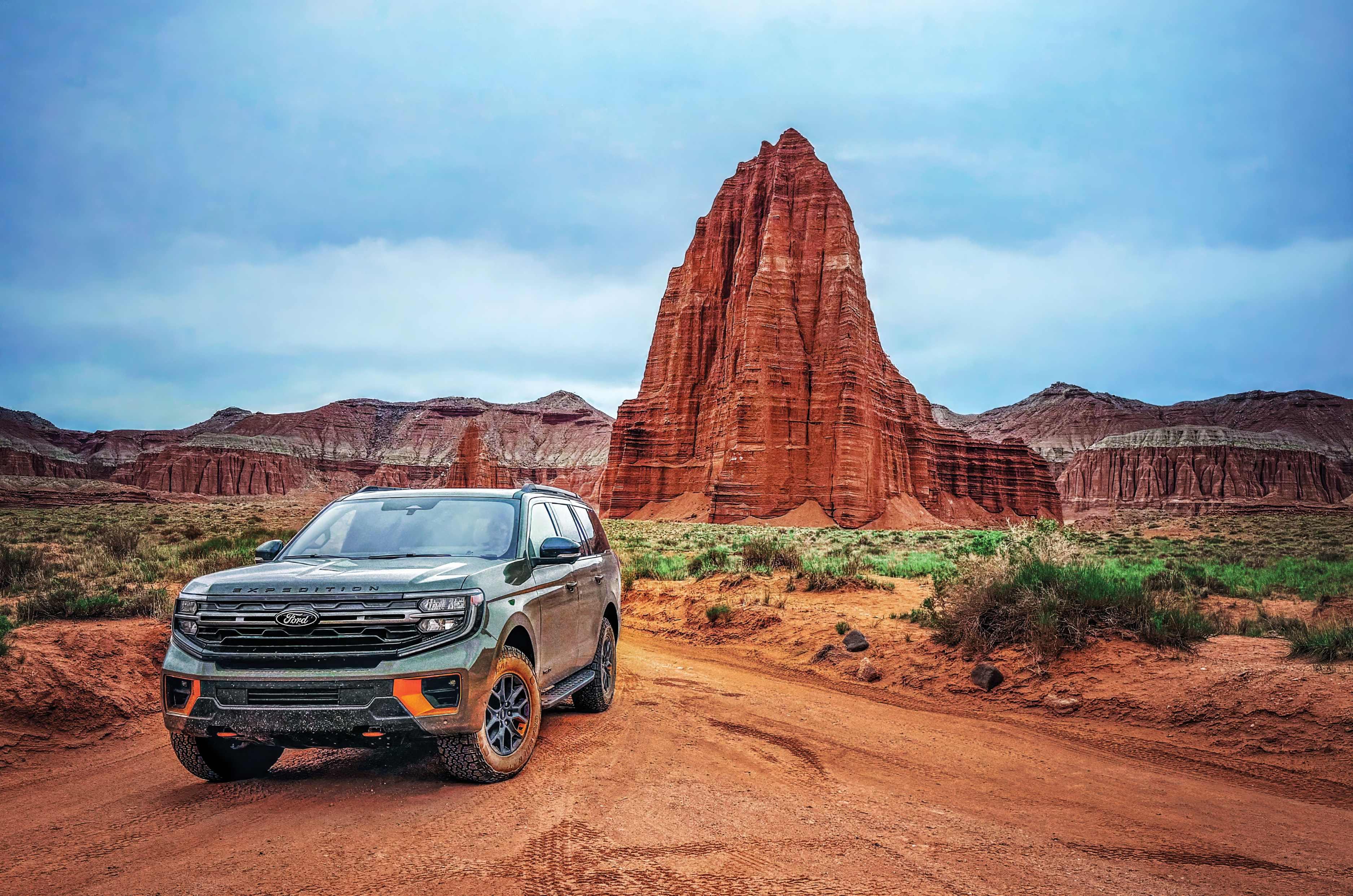
Most visitors run the Cathedral Valley Loop clockwise, meeting the Fremont River crossing at the start. We’d gone the other way, so it arrived at the very end, just short of Highway 24. Torrid brown water gushed across our path. Not crossing would mean backtracking 80 miles.
I waded in first to check for stone underfoot rather than clay, reading whether the current had strong opinions about being crossed. Satisfied, I waved the Tremor forward, and my partner drove it straight through, water climbing the doors. Then crossed again to pick me up, and once more just for fun, proof this was a vehicle built to encourage this kind of tomfoolery.
After Cathedral Valley, the long drive back to ordinary life began, the odometer past 1,300 miles. Looking back on those twelve days, I’m glad I chose the path not well trodden, as Robert Frost once suggested, in a digital age where it’s easiest to let the machines pick the route.
A badly printed, albeit meticulously researched book, an atlas, and a Ford that never once flinched had taken us somewhere far better than any algorithm would have dared suggest. Rather than a destination ticked off, Utah became one truly experienced, and that made all the difference.
The essentials
Self-sufficiency matters: A little preparation separates adventure from discomfort.
Water: Carry more than you think you need. We kept 20 litres in the Expedition.
Provisions: Stock up on energy bars, trail mix, fruit, chocolate, canned food, instant noodles, jerky and coffee. A camping stove is invaluable for hot meals in the middle of nowhere.
Fuel: Fill up whenever you can. Distances are vast and stations scarce.
Navigation: Download offline maps and carry a paper atlas. The DeLorme Utah Atlas and Gaia GPS worked well.
Clothing: Hot days, cold nights. Pack a warm layer and a sleeping bag.
Footwear: Sturdy hiking shoes.
Sun protection: A wide-brimmed hat, sunglasses, sunscreen and lip balm.
Vehicle: A high-clearance 4WD.
In-car essentials: First-aid kit, head torch, tyre gauge, air compressor and puncture repair kit.
Allow extra time. Utah ambushes you with one view after another, and the best memories happen at unplanned stops.
from Autocar India https://ift.tt/MK3bxR2


Comments
Post a Comment